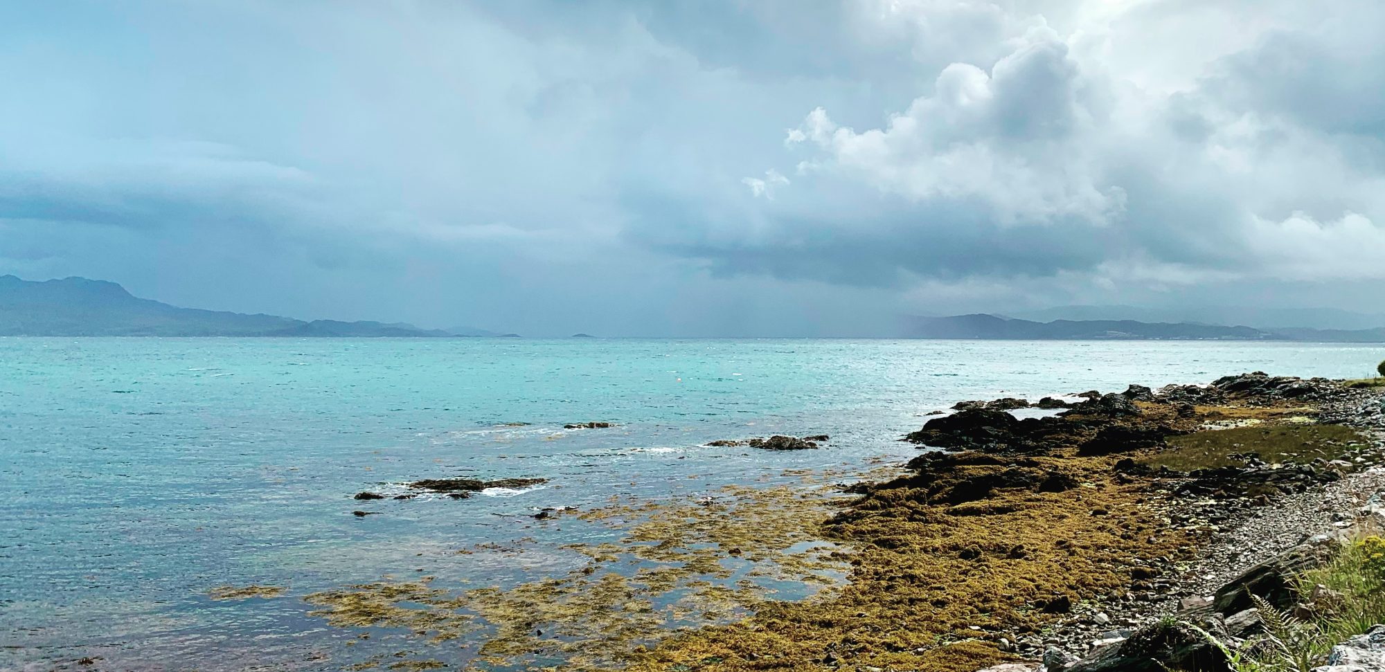

We’ve spent the last few days exploring the land. The croft is situated on a south east facing slope. Because it hasn’t been used for many years apart from occasional grazing, rushes have overtaken much of it, and there is little tree cover with the exception of a few small birch groves acting as a shelter belt to the west of the land.
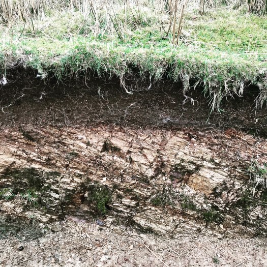
There are exposures of lewissian gneiss in various places, but there also appear to be layers of shale, as shown here in an exposed cut above the stream. You can see the soil layer overlaying the shale. Local spot PH testing shows that the soil over the shale is around 6.5-6.8, so not as acidic as we had feared.
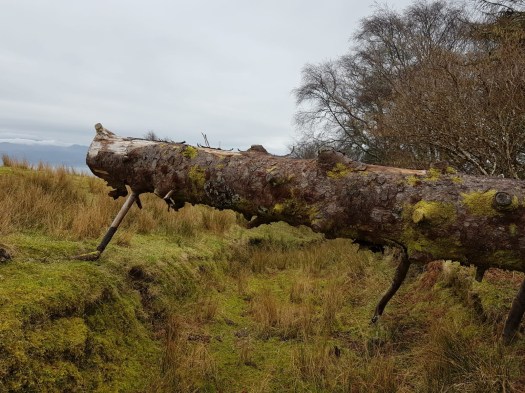
There is also a sheltered valley to the north, where the burn flows. It’s lightly wooded and overgrown, with the stream running through the cut.
It’s much more diverse and untouched in nature than I thought from our first viewing, which is wonderful. We’re already hatching plans for where we could plant a small orchard, and where we could create a pond.
Now to focus on planning permission and building warrants…

I do love the exploration phase. Our land is wild and we often find new niches overlooked in the previous decade. You will find that there is always something new to discover.
LikeLiked by 1 person
I’m sure that you’re right. We’ve still only had a couple of opportunities to walk the croft and I’m sure that we haven’t discovered all of its mysteries yet by a long way. That’s the fun to come over the next few years 👍
LikeLike